![]()
Founded 1906
|
|
|
|
|
|
|
|
|
|
|
|
|
|
|
|
|
|
|
|
|
|
|
|
|
This section contains the latest news from the Field Unit, as and when it occurs. New sections are added as and when to show the progress the Field Unit are making during the year. * Original Information March 2004 * Added June 2004
|
||||||||||||
|
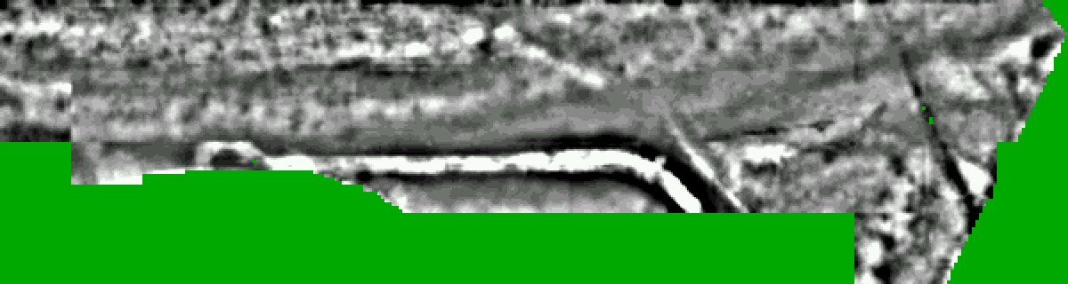
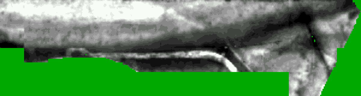
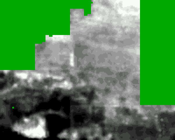
The lands that lie to the south of the Woodingdean cemetery, and that are scheduled to be part of the cemetery extension, were noted to have a number of subtle earthworks. The land has been pasture and grassland for some considerable time. A study of the fields to the south of the designated cemetery extension are regularly ploughed and cropped. A study of aerial photographs of this field have noted a number of linear features and other soil marks that may be associated with ancient field systems. A tumuli is noted on the top of the hill to the south named Mount Pleasant, but has subsequently been ploughed away. A small Roman farmstead lies in this ploughed field and has been examined by metal detectorists in the past (pers. comm.) The site of the Roman dwelling is apparantly very visible after the field has been ploughed. The cemetery south field has a number of distinct features including both curved and linear configurations. A large circular feature is the known location of a possible road surface destined at one time to be the boundary of a Jewish cemetery. A linear feature running across the field from north/west to south/east is probably a lynchet and earlier field boundary. An underground water pipe crosses the field in the south/west section of the field and a number of metalled plates indicate its location. Other features include some very subtle lynchet style linear earthworks and a number of depressions and terrace like incursions into the hillside. In April and May of 2004 the BHAS geophysics team, under the leadership of Norman Phippard and David Staveley, conducted a resistivity survey of a significant part of the cemetery extension area. A contour survey was also undertaken by Roy Pateman using his total station. Another survey in a number of grid squares examined the metal detecting potential for some sections of the field. The scale of the survey allowed the use of two geophyscical machines, an RM15 resitivity meter and a TR Systems machine. The field was set out in a number of 20 metre square grids. The readings were measured in Ohms and the readings were taken at 1 metre intervals. The resistivity survey results and images were produced using David Staveleys 'Snuffler' software. The survery has produced a number of anomalies of both high and low resistance. The boundary road is very well defined as an area of extremely high resistance (see Fig1 and Fig2). The results are currently being studied with a view to conducting a number of assessment trenches, to determine the nature and dating of the features. The use of the land for a cemetery site means that it is a rescue operation, any archaeology is likely to be destroyed by the cutting of the new graves. The metal detecting exercise produced a significant number of metal readings, but no incursions were made into the turf to determine what the readings had identified, but it is possible that the large number or readings could be attributed to nails from old fence lines.
Perchinghill Barn lies in a small valley to the south of the scarp of the South Downs between Edburton and Fulking. The actual barn is now derelict. In this same valley are a number of earthworks located close to the valley bottom . These earthworks are a Scheduled Ancient Monument (SAM) and it is believed to be the site of a deserted medieval village. (DMV). To the north of the site, lying on the crest of the scarp, is the site of a Norman motte and bailey castle. The castle is an ancient reminder to the conquered Saxon community that the Normans were now the lords of the county. A trackway running along the west end of the valley is an ancient road and part of an ancient 'strip' parish boundary. It would have been that along this trail pigs would have been herded into the dark forests of The Weald for foraging and clearing the scrub and undergrowth. In the lands below the scarp of the Downs and the castle lies a moated site, with deep ditches and large banks, part of perhaps another medieval landscape and the Norman church, with possible Saxon vestiges, of Edburton lies to the west. Perching has a much documented history (pers. Comm. K.Edgar) and is being studied by a number of students. The earthworks at Perchinghill Barn have a number of raised platforms and incursive cuts, creating terraces cut into the hillside. A flint wall 0.7M in width and in places 1M high with buttresses at a number of locations runs up from the site on the east side. The wall continues in a westerly direction just below the crest of the hill. At the west end of the wall it can be observed that it is built over a large earthwork before terminating. This earthwork appears to be the perimeter of a much older enclosure. The Perchinghill barn earthworks have a number of pits and depressions lying between the various platforms. In March of this year the geophysical team, under the leadership of David Staveley conducted a resisitivity survey of a number of grids over the site and up the side of the hill to the south. The survey is for part of a historical dissertation for Karol Eager, a member of the BHAS team studying at Sussex University. A small plane tabling contour survey was also carried out in the main area of disturbance. The results of the survey (Fig 1 and Fig 2) clearly indicate that walls and features lie beneath the surface of the earthworks, particularly within the mounds. Other linear areas of low resistance may indicate the location of ditches. It is not possible to date the features from the geophysical survey alone, and only excavation could determine a date for the structures. The examination of a number of rabbit burrows and badger sets close to the site produced only a single sherd of medieval pottery. A few other random finds included flint flakes and fire-cracked flint. The farmer who once owned the site has mentioned that before the Second World War there were standing buildings on this site. The farmer had planned to renovate and restore the structures, but the land was commandeered for training purposes during the war and the buildings were used for target practice, and as such destroyed.
FIELD WALKING AT PEACEHAVEN In January and February of 2004 the BHAS Field Unit conducted a field walking survey of lands at Lower Hoddern Farm, Peacehaven.(Ref TQ 416018). The field is divided into 3 sections, east, west and south. An initial field walking of 10 lines in 2003 had found two Neolithic rough out axes, and significant amounts of flint tools. The field walking of 2004 completed a survey of all three fields with some very interesting results. The field has been identified as the possible location of a Neolithic flint tool manufacturing site, probably utilising natural resources from the cliff faces along the coast close to Newhaven.(Pers. Comm. O.Gilkes). A local lady, Mrs Schultz had collected a number of Neolithic axes when she worked on the farm, and allowed members of the Society to examine and photograph them, however their exact find provenance is unknown. A number of mesolithic blades have also been found in a field close by by local Mr Tony Paine. The fields were divided into lines spaced 20 metres apart, and each line was walked in 20 metre long transects. The weather was predominatly fine and sunny with only a little drizzle on the final day of walking in the south field. The finds recovered were mainly of flint, both waste flakes and fire cracked flint. However, a significant number of flint tools were also recovered. The tools included scrapers, piercing tools, notched pieces, a number of beautiful blades and blade fragments and a total of 9 Neolithic axes. Other pieces included a possible early Neolithic blade and sickle. The dot density diagrams are indicating possible concentrations of material in a number of places across the east and west fields. The south field contained countless pieces of fire cracked flint, and considerable quantities were collected, counted and weighed during the field walking project. The fields at Lower Hoddern Farm are obviously the site of considerable Neolithic activity. However, as the fields consist of a very rich sandy loam and have been ploughed for some time it is unlikely whether ancient features are preserved below the plough soil. It is possible that colluvial activity in the shallow valley bottom may have produced deep enough protection, and a survey of the results may indicate the potential for some assessment excavation. The fields are close to one of the proposed areas for the Brighton sewage site, and a professional unit may be conducting excavations in the field to the east of the one walked. In the centre of the field was a small concentration of Roman pottery, including the rim of a burnished vessel and the base of some grey ware. The dozen sherds recovered from the field walking are too small to suggest a sigificant Roman presence and further walking around this localised centre may be necessary to produce other finds. The Roman material could possibly be a small local site, or may indicate pottery being moved form other locations through manuring or isolated soil dumping. The fields are Lower Hodedern Farm have produced significant amounts of Neolithic flintwork to justify further investigation. Once the concentrations are analysed it is likely that BHAS may return to the fields for geophysical surveying and some archaeological excavation.
|
||||||||||||
|
|